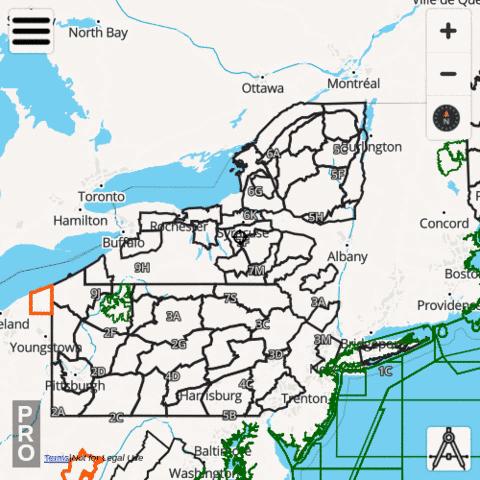
The i-Hunting app includes New York Hunt Planner with vector topo maps, public lands, parcels, hunt zones, elevation contours and several other map layers designed to make hunt planning easier. The hunt app includes all advanced features of a standalone hunt GPS unit. The hunting GPS maps for New York are fully customizable. All individual hunt map layers can be enabled selectively or downloaded for offline use.
New York Hunt Planning Layers
|
New York Hiking Trail Maps
The i-Hunting topo maps include detailed topographic contour maps, trail maps, spot elevations and other structures for all national and state parks in New York. All the trail maps are fully vector, can be downloaded offline to the device. Vector hiking topo maps are reduced size maps, that can be zoomed in without any pixelation and take very little space on the device.
- African Burial Ground National Monument Topo and Trail Map
- Appalachian National Scenic Trail Topo and Trail Map
- Castle Clinton National Monument Topo and Trail Map
- Eleanor Roosevelt National Historic Site Topo and Trail Map
- Federal Hall National Memorial Topo and Trail Map
- Fire Island National Seashore Topo and Trail Map
- Fort Stanwix National Monument Topo and Trail Map
- Gateway National Recreation Area Topo and Trail Map
- General Grant National Memorial Topo and Trail Map
- Governors Island National Monument Topo and Trail Map
- Hamilton Grange National Memorial Topo and Trail Map
- Home of Franklin D. Roosevelt National Historic Site Topo and Trail Map
- Martin Van Buren National Historic Site Topo and Trail Map
- Sagamore Hill National Historic Site Topo and Trail Map
- Saint Paul's Church National Historic Site Topo and Trail Map
- Saratoga National Historical Park Topo and Trail Map
- Statue Of Liberty National Monument Topo and Trail Map
- Stonewall National Monument Topo and Trail Map
- Theodore Roosevelt Birthplace National Historic Site Topo and Trail Map
- Theodore Roosevelt Inaugural National Historic Site Topo and Trail Map
- Upper Delaware Scenic and Recreational River Topo and Trail Map
- Vanderbilt Mansion National Historic Site Topo and Trail Map
- Women's Rights National Historical Park Topo and Trail Map
New York public and private land stats
| Government Lands | 10158.48 square miles |
| Percent Government Lands | 20.72 percent |
| Private Lands | 38870.91 square miles |
| Percent Private Lands | 79.28 percent |
New York Hunting Regulations
The following website contains hunting regulations/seasons and details on purchasing / acquiring hunting /fishing licenses / permits. Please visit the following website directly to find more details regarding hunting regulations for New York